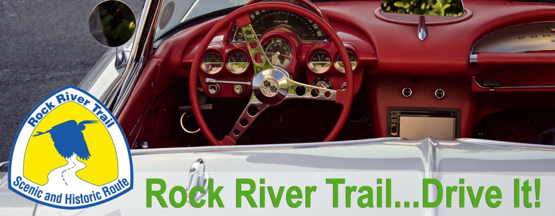
Rock River Trail Scenic and Historic Route
Head out on the road for the journey of a lifetime! The Rock River offers a widely changing landscape through it’s 320 miles. Kickstands up, or tops down, pick your wheels of choice and head out to explore the 11 counties and 37 charming river communities along the way! Each region has it’s own character, history and special features for you to discover. Do it all at once, or pick sections to do over a period of time, it’s all up to you!
The Rock River Trail 320-Mile Award
The Rock River Trail Inititative has established a 320-Mile Award for those individuals who reach the goal of doing the whole 320 miles of the Rock River Trail, whether it’s hiking, biking, paddling or driving. Those who finish the trail will be recognized on our 320-Mile Wall of Fame and awarded the Rock River Trail patch and 320-Mile Award rocker patch. Click here to learn more about this prestigous award.
Maps of the Rock River Trail Scenic and Historic Route
 We have prepared maps and trail information for you to explore the Rock River Trail Scenic and Historic Route. Travel safely and happy trails to you!
Download The Complete Rock River Trail Map
Wisconsin Routes
Beloit To Waupun
This route takes you along the whole Rock River Trail in Wisconsin, from the Illinois-Wisconsin state line at Beloit to Waupun County Park in Fond du Lac County.
Length: 148.1 mi
See Route
Beloit to Village of Theresa
This route takes you along the whole Rock River Trail in Wisconsin, from the Illinois-Wisconsin state line at Beloit TO Horicon and on the east side of the Horicon Marsh to Rivers Edge Park in Theresa.
Length: 144.5 mi
See Route
Horicon Marsh Parkway
The Horicon Marsh Parkway circumnavigates the Horicon Marsh in Dodge County and leads to the two trailheads at Waupun County Park and Rivers Edge Park in Theresa.
Length: 34.9 mi
See Route
Lake Koshkonong Loop
The loop circumnavigates Lake Koshkonong from Newville in Rock County to Fort Atkinson in Jefferson County.
Length: 29.7 mi
See Route
 Illinois Routes
South Beloit to Rock Island
This route runs from Illinois-Wisconsin state line in South Beloit to Sunset Park and Marina in Rock Island, Illinois at the Mississippi River.
Length: 168.3 mi
See Route
Rock Island County Loop
The Rock Island County Loop runs on both sides of the Rock River from Colona to Sunset Park and Marina.
Length: 30.5 mi
See Route